

SARWAVE
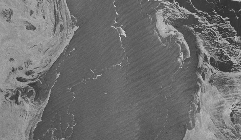
The SARWAVE project aims at developing new L2 ocean wave-related products from Sentinel-1 Interferometric Wide Swath (IWS) TOPS (Terrain Observation with Progressive Scans) observations. A new sea state processor will be designed to generate datasets over open ocean, sea ice, and coastal areas. Synergies of such new products with other EO data are investigated, including […]
Snap Earth
Improving access to Earth Observation data
SwellStats
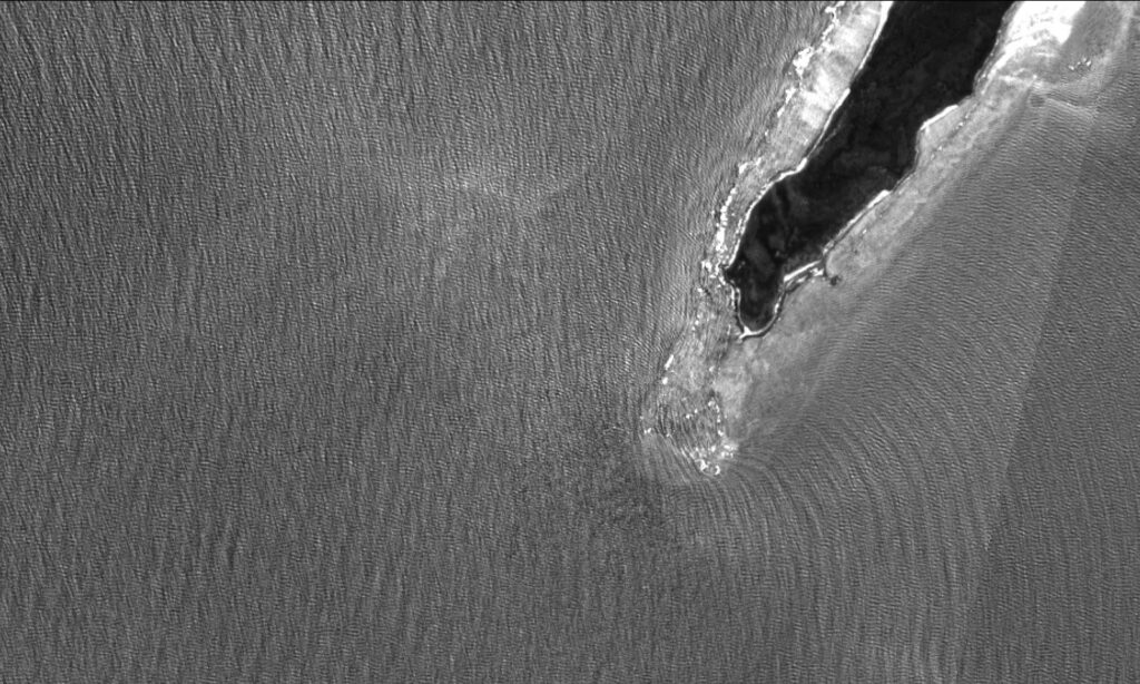
Improving sea surface SAR altimetry estimates
ACCWA
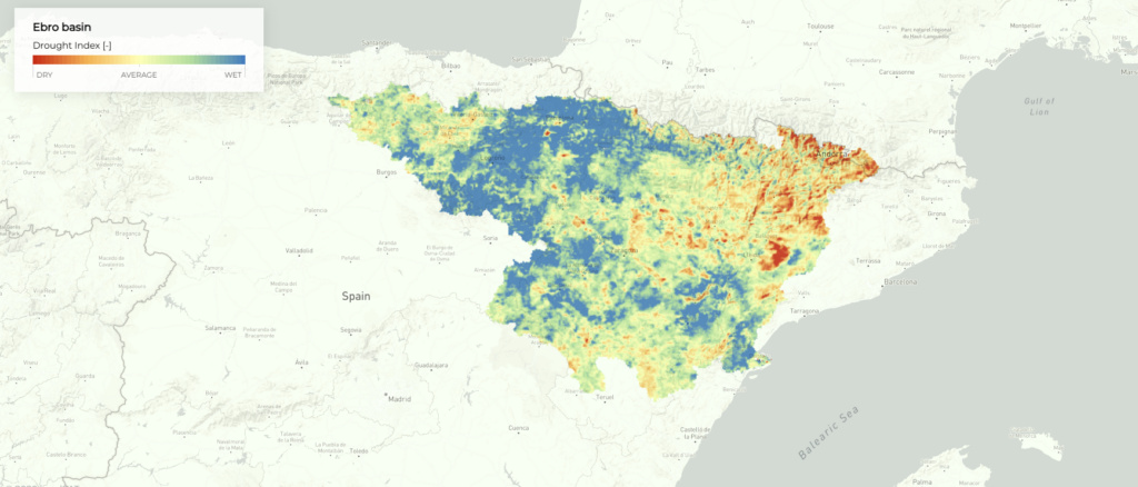
Accounting for Climate Change in Water and Agriculture management
VALERIA
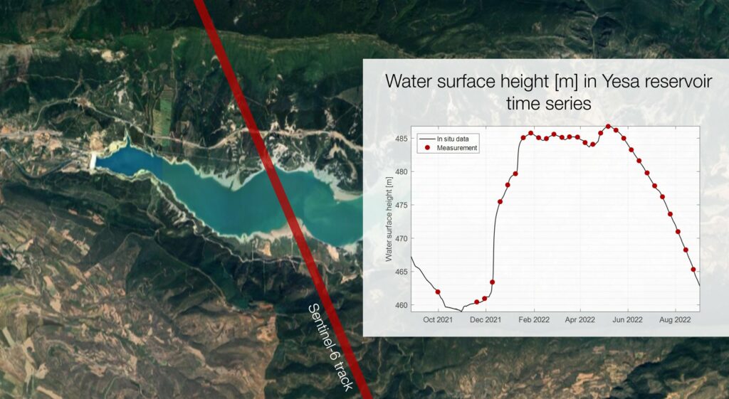
Validating Algorithms Levels 1A and 2 in Ebre River Area
Global Shoreline
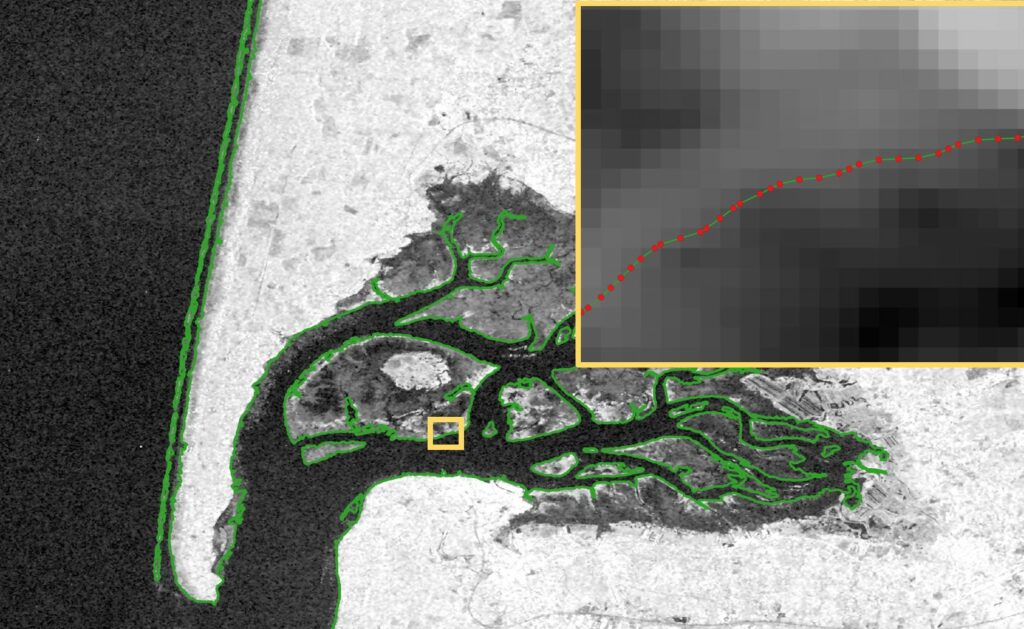
Building a global processor for the coastline
MARE
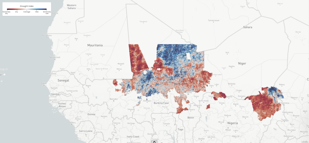
High Resolution Drought Monitoring
AEI-Agri
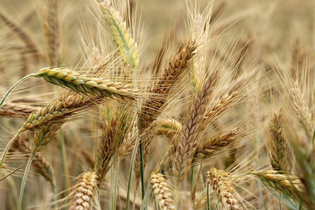
Determining the optimal time to stop irrigating winter cereal crops allows for the efficient use of water resources and reduces the impact of irrigation drainage on rivers and aquifers, helping to protect the hydrological cycle. This involves identifying when the cereal reaches physiological maturity, which is when the grain stops increasing in weight and crop […]
SMART
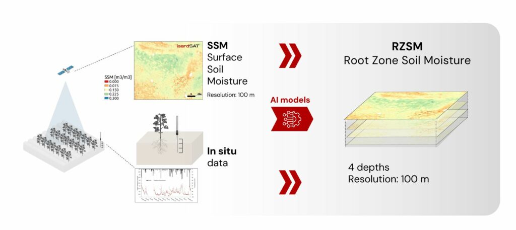
Monitoring Drought at a High Spatial and Temporal Resolution
UK Gravel Barriers
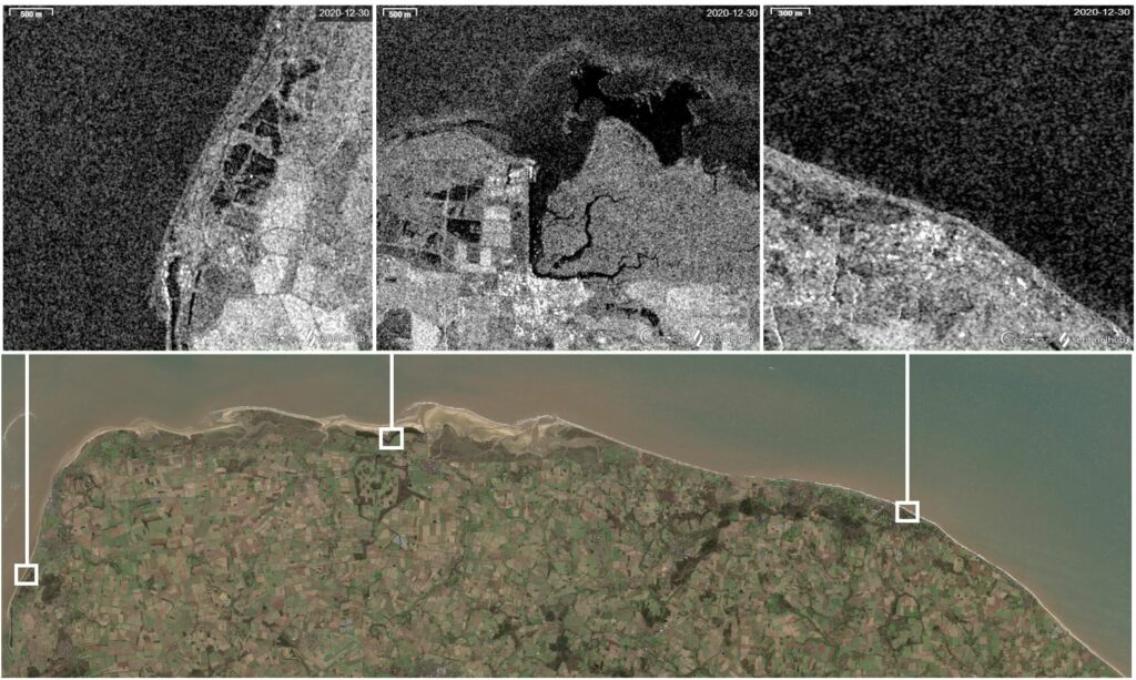
Increasing coastal resilience against climate change