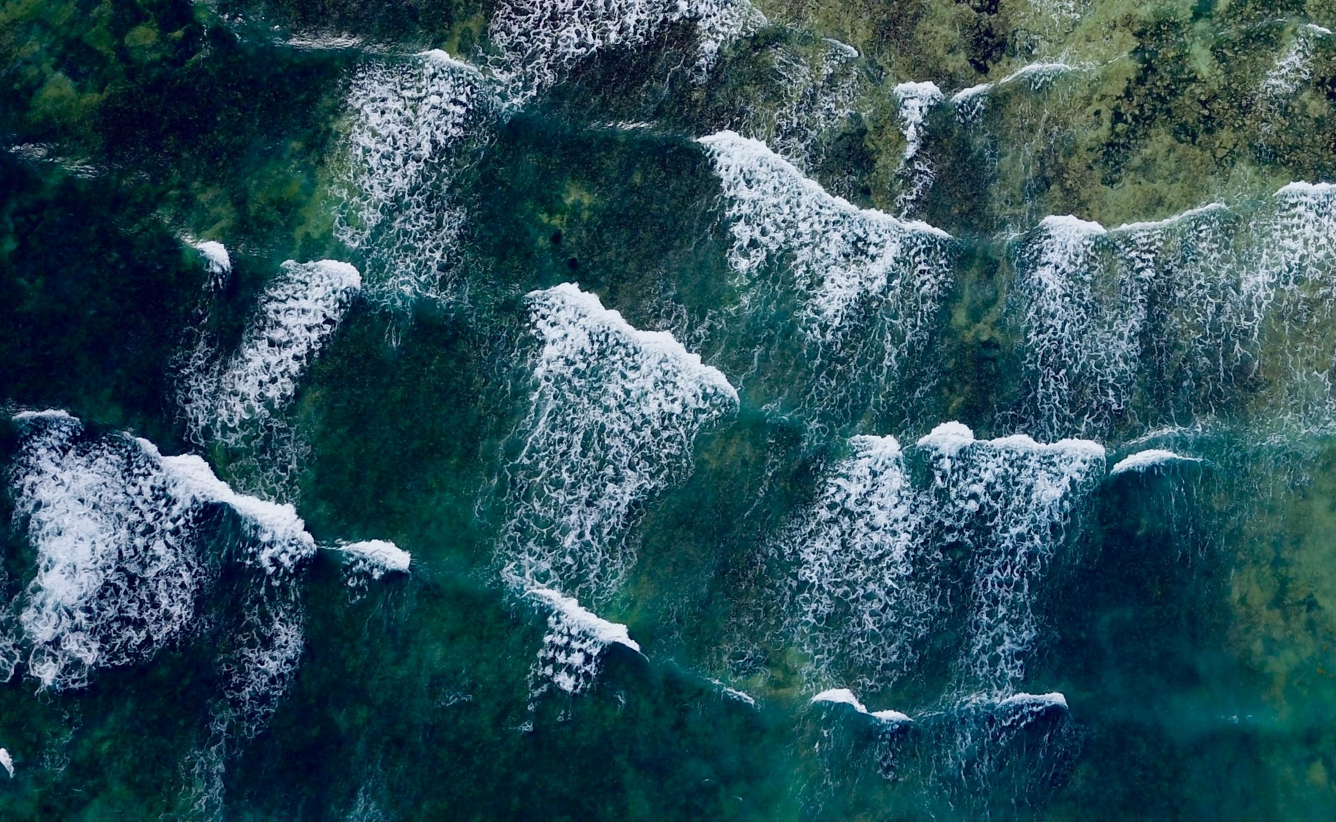
 Swell waves reaching the coast © Pixabay
Understanding the sea state—the conditions of the ocean surface at a given time and location—and its underlying dynamics is critical for advancing oceanographic and climate research. Satellite-based radar altimeters provide precise measurements of the ocean geophysical parameters.
However, these measurements are often hampered by ocean swell, a series of long-wavelength surface waves that travel vast distances across the oceans, causing a bias in the altimeter’s reflected pulse. The SwellStats project has developed a methodology to enhance high-resolution altimeter wave retrievals, effectively mitigating this bias.
Measuring waves from space
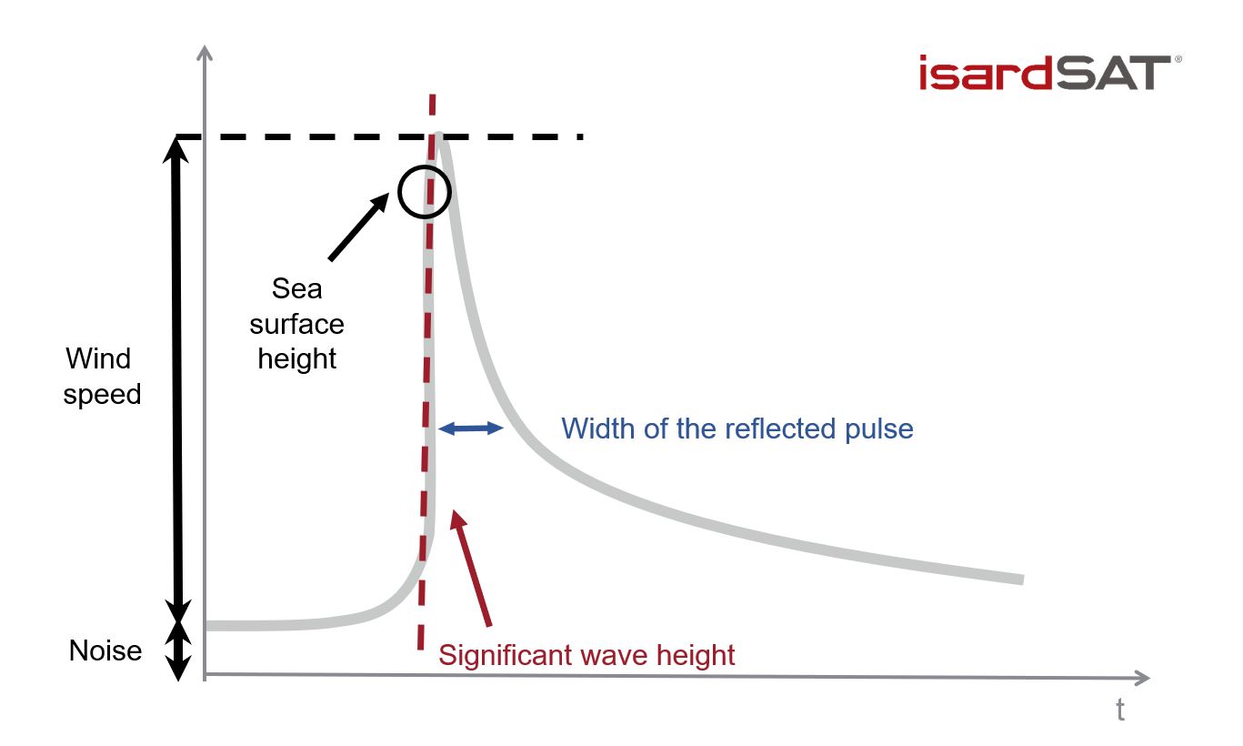
Satellite-based radar altimeters continuously measure the distance between the instrument and the Earth’s surface, providing critical data for estimating ocean wave height. These altimeters emit pulses of radio waves toward the Earth’s surface and measure the time it takes for the echo to return. By determining this time delay, the altimeter can accurately calculate the distance to the surface, which in turn allows for precise measurements of the sea surface height.
When measuring ocean waves, the roughness of the surface influences the width of the returned echo: a rougher surface results in a wider echo. This echo widening, caused by wave activity, must be accounted for in order to make a primary measurement of the sea surface height.
 Plot of the geophysical parameters measured by Sentinel-3 altimeter (Sea surface height, Significant wave height, and Wind speed over the ocean surface). © isardSAT
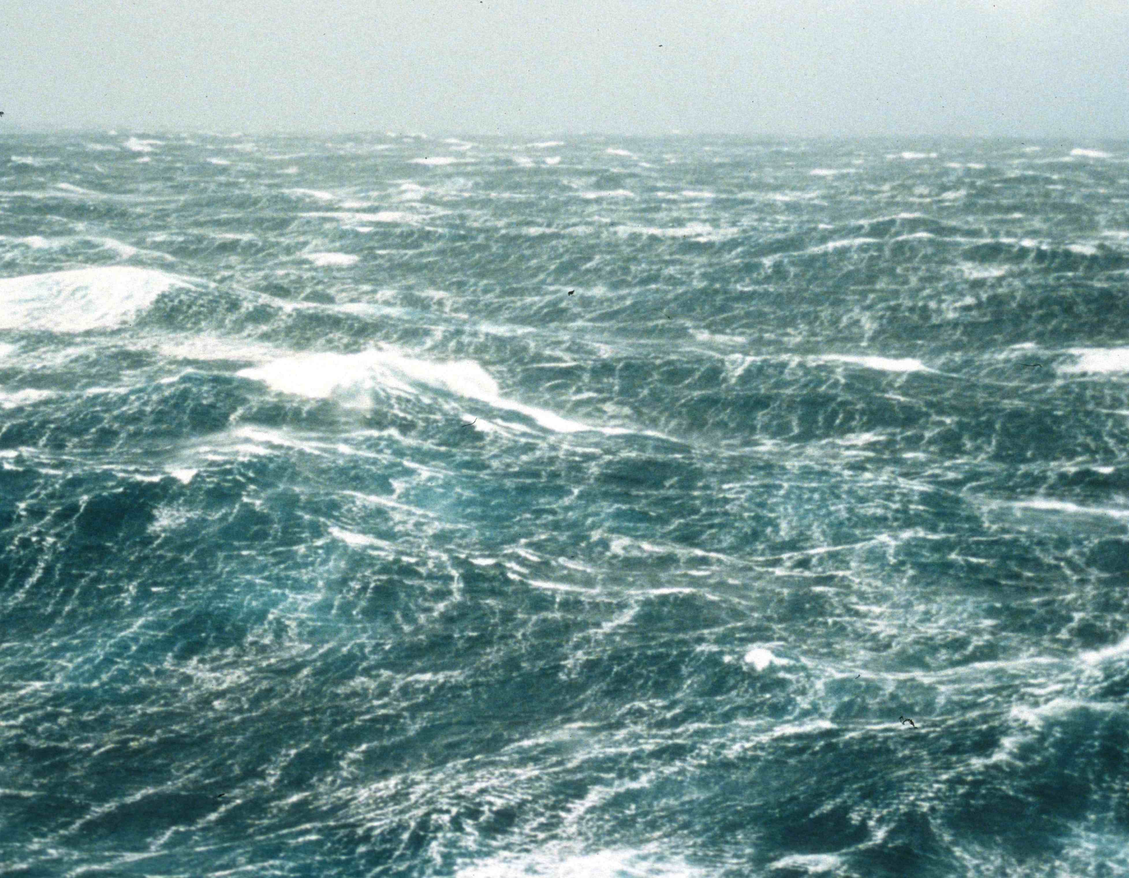
“When there is a complex wind sea, the surface is fully chaotic and, in a sense, uniformly rough”, explains Chris Ray, researcher at isardSAT. In such cases, there is an established method for correlating the echo width with wave height.
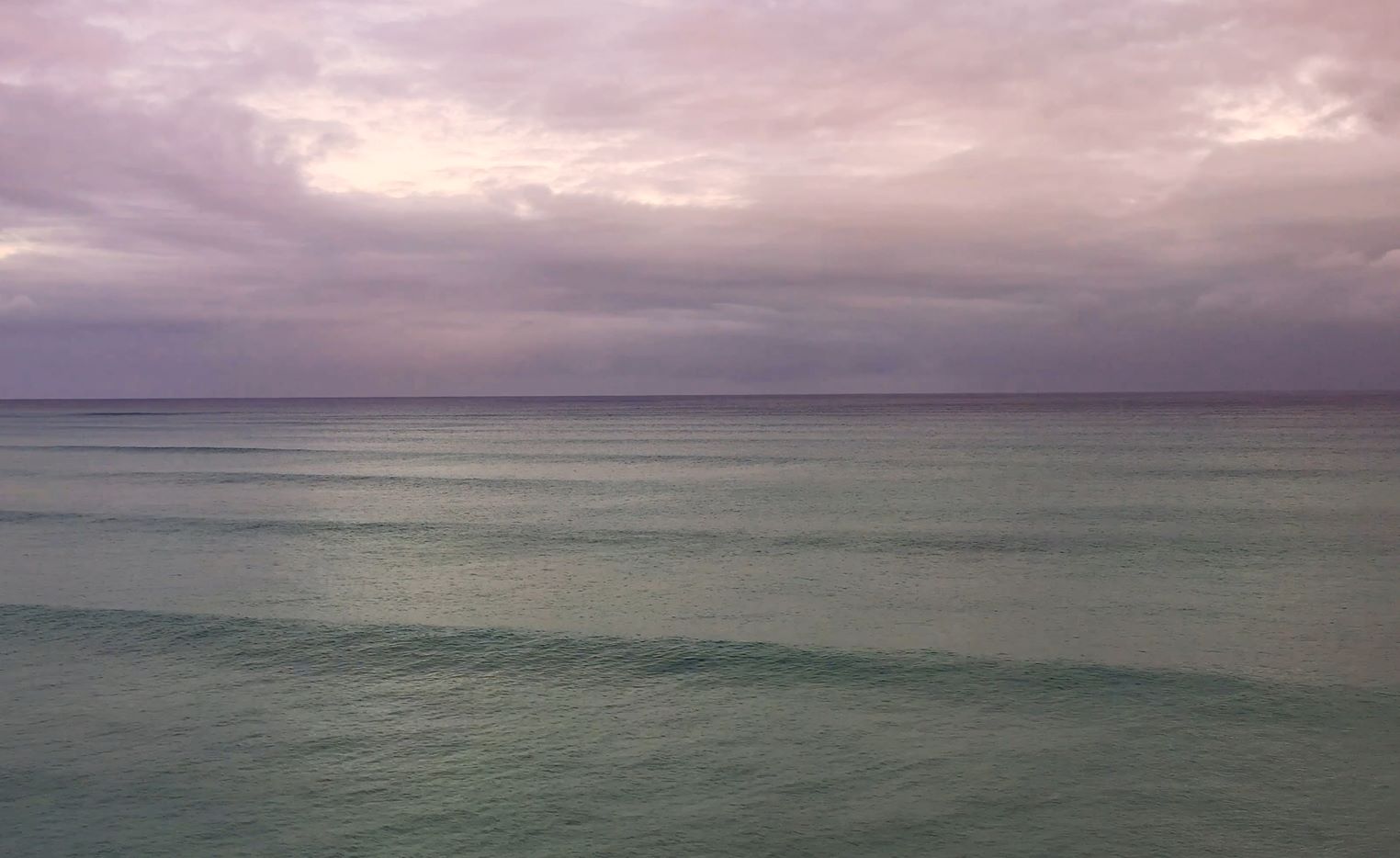
 Image of swell near the coast © Pixabay
“However, when a swell sea is present, this method fails due to the more orderly nature of the swell surface,” Ray clarifies. “As a result, the echo widening caused by the swell is not accurately accounted for, introducing a bias in the measurement of sea surface height,” he concludes.
SwellStats: a methodology to retrieve sea state characteristics regardless of the effect of ocean swell
The SwellStats project has determined the relationship between the echo width and the swell height. Having this relationship not only avoids the bias caused by swell in the primary measurement of sea surface height, but also provides an estimate of the swell height from the altimeter signal.
“This information improves the reliability of the measures made by altimeters and by doing so, makes the measurements more impactful”, concludes Chris Ray.
 Image of swell near the coast © Pixabay
