IDEWA (Irrigation and Drainage monitoring by remote sensing for Ecosystems and WAter resources management) is an European project that aims to bridge the gap between potential and actual irrigation performance in the Mediterranean.
IDEWA proposes the development of innovative irrigation management tools based on readily available multi-sensor remote sensing data that will, for the first time, allow monitoring of the water use and drainage at field and basin scales, and their impact on downstream ecosystems. By working across two scales (field and basin), the project addresses the mismatch between farmers and associations irrigation performances. It will also deal with sustainable irrigation by explicitly considering crop water used (actual evapotranspiration) and drainage (which is often disregarded) in a water accounting system that will also consider the impact of water drainage in river ecosystems.
The project, funded by the European Union under the Partnership for Research and Innovation in the Mediterranean Area (PRIMA) programme, is being implemented in two Mediterranean representative case and well-monitored study areas in the Ebro (Spain) and Tensift (Morocco) basins.
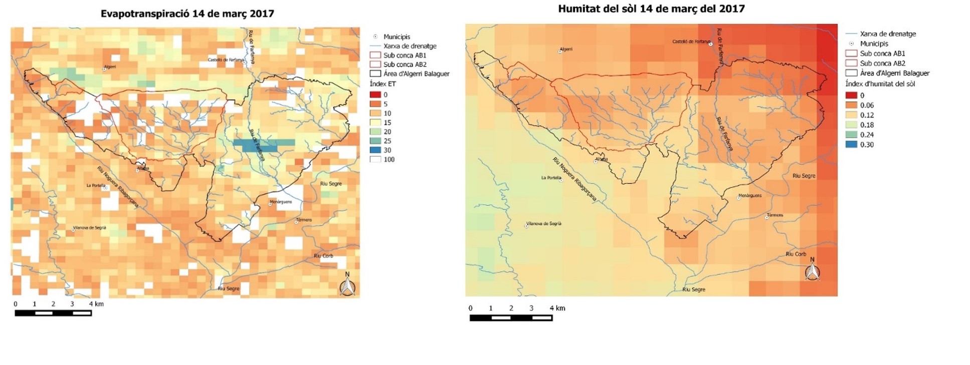
isardSAT is contributing with Earth observation data analysis and improving soil moisture datasets and irrigation products (such as, irrigation maps, irrigation types and quantification of irrigation), as well as co-leading management, communication and dissemination activities.
Go to project site