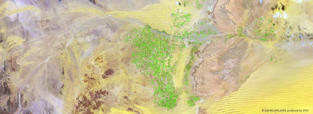
Crop irrigation management by multi-sensor remote sensing approach
By taking advantage of recent multi-sensor remote sensing methodologies and the advent of new satellite missions such as Sentinel-1 with an unprecedented spatio-temporal resolution, the Root zone soil moisture Estimates for Crop irrigation management and water use impact a multi-sensor remote sensing approach (REC) project proposes a cutting-edge solution to the need of root-zone soil moisture at the field scale for irrigation management.
It is based on an innovative and operational algorithm that allowed for the first time to: 1) to map root zone soil moisture on a daily basis at the field scale and 2) to quantitatively evaluate the different components of the water budget at the field scale from readily available multi-sensor remote sensing data.
Go to site